
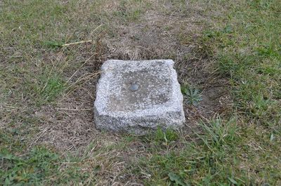
| Type: | FBM |
|---|---|
| Date Visited: | 29-08-2022 |
| Status: | Present |
| Latitude: | 55.24502 |
| Longitude: | -1.772711 |
Description
No description available.
Levelling Lines
| Line Name | Description | Position |
|---|---|---|
| Belford to Longhorsley | Third Geodetic Levelling, England & Wales (1950-68) | 36 |
| Hexham to Longhorsley | Second Geodetic Levelling, England & Wales (1912-21) | 20 |
| Longhorsley to Belford | Second Geodetic Levelling, England & Wales (1912-21) | 1 |
| Longhorsley to Hexham | Third Geodetic Levelling, England & Wales (1950-68) | 1 |
| Mickleby to Longhorsley | Third Geodetic Levelling, England & Wales (1950-68) | 115 |