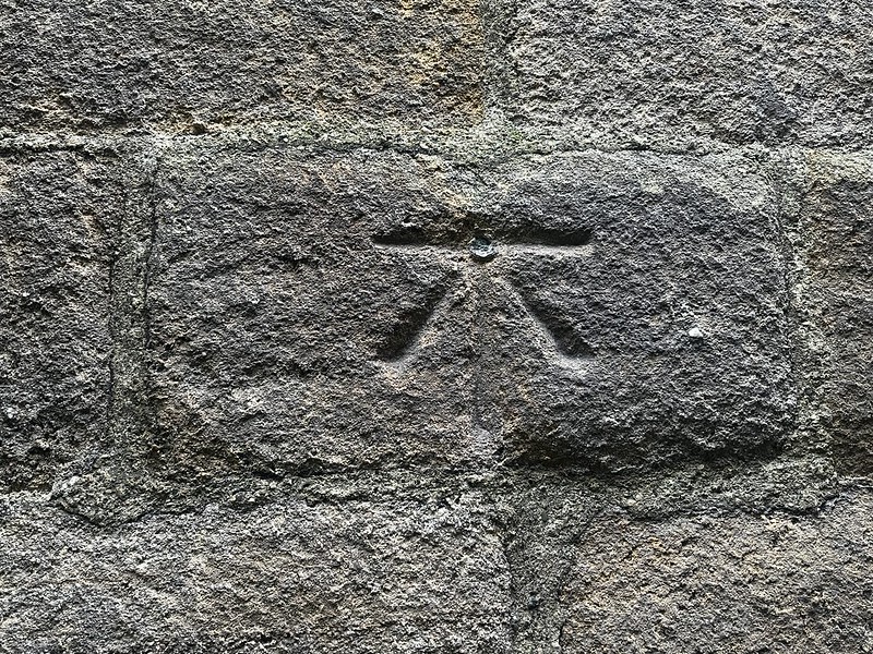
Blanchland, Church
Ordnance Survey benchmark details, visit information and associated levelling lines.
Mark details
| Type | pab |
|---|---|
| Date visited | 01-09-2023 |
| Status | Present |
| Latitude | 54.84849 |
| Longitude | -2.054329 |
Description
No description available.
Levelling Lines (1)
| Line Name | Description | Position |
|---|---|---|
| Hexham to Wolsingham | Third Geodetic Levelling, England & Wales (1950-68) | Side Level |