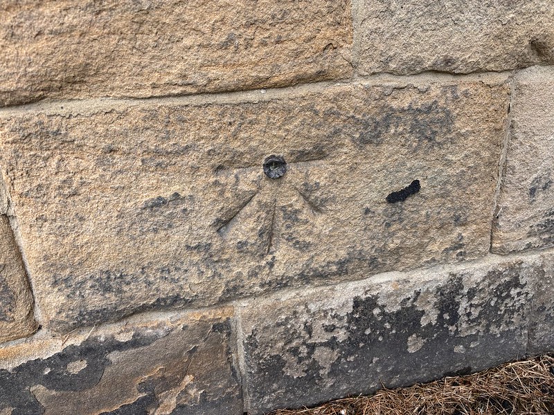
North Shields, Christ Church
Ordnance Survey benchmark details, visit information and associated levelling lines.
Mark details
| Type | pab |
|---|---|
| Date visited | 07-06-2025 |
| Status | Present |
| Latitude | 55.01125 |
| Longitude | -1.448321 |
Description
Bolt in South face of tower of North Shields Old Church ; 1.67 ft. above surface [1GL, Carlisle to N
Levelling Lines (1)
| Line Name | Description | Position |
|---|---|---|
| Carlisle to North Shields * | First Primary Levelling, England & Wales (1840-60) | 207 |