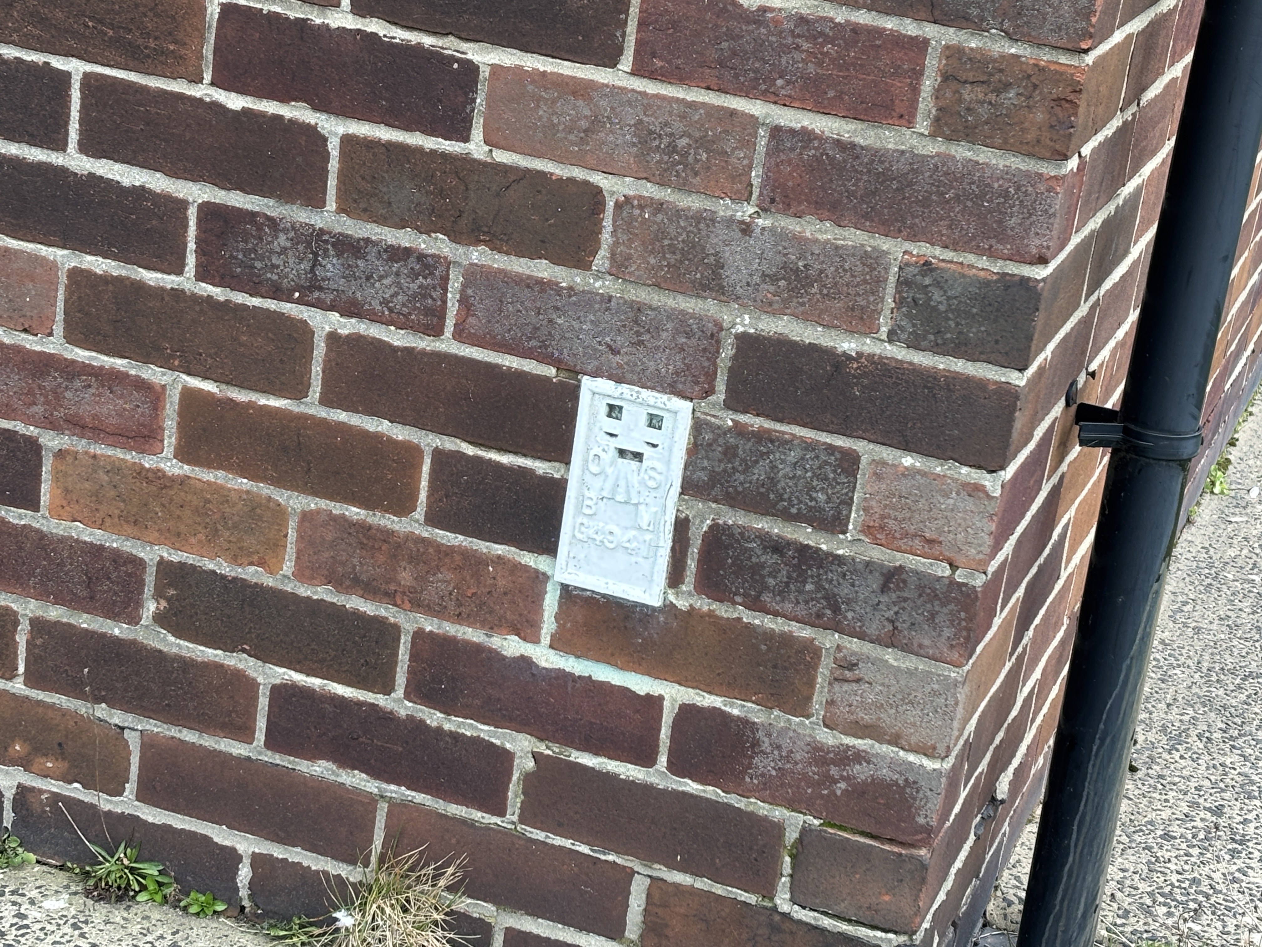
South Shields, River Drive
Ordnance Survey benchmark details, visit information and associated levelling lines.
Mark details
| Type | FB |
|---|---|
| Date visited | 03-04-2026 |
| Status | Present |
| Latitude | 55.00158913 |
| Longitude | -1.43766690 |
| Flush bracket | G4941 |
Description
No description available.
Photograph & location
Select the photograph to enlarge.
Levelling Lines (1)
| Line Name | Description | Position |
|---|---|---|
| Mickleby to Longhorsley | Third Geodetic Levelling, England & Wales (1950-68) | 63 |